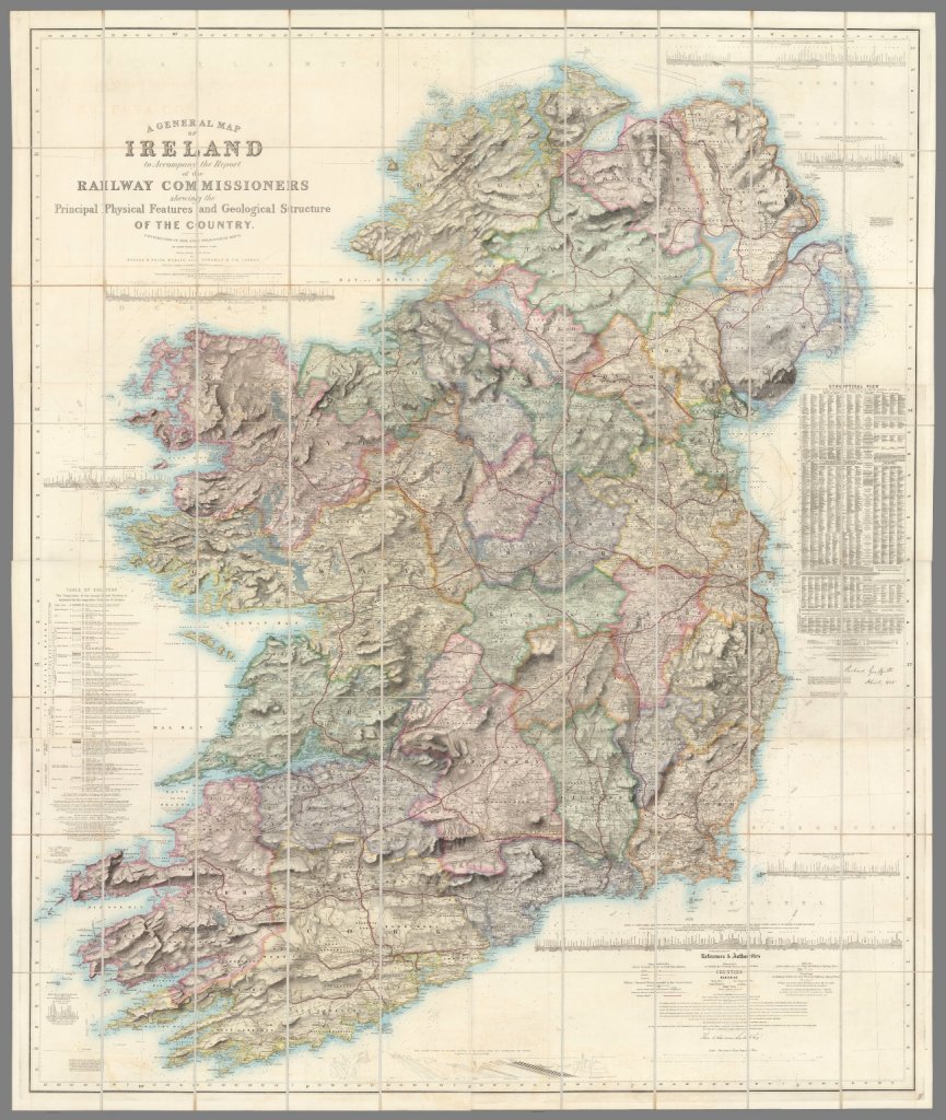
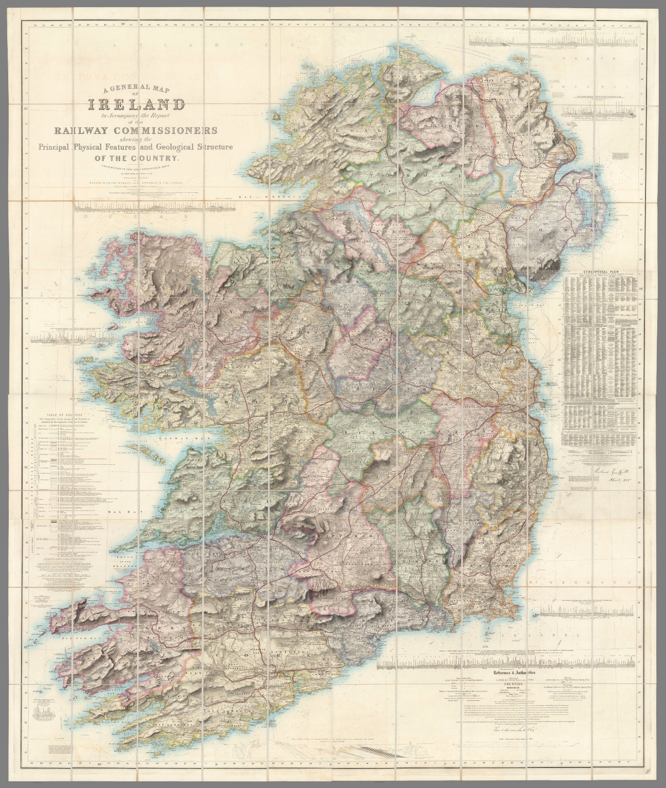
I came across this beautiful old map of Ireland from 1836 and had to share it. Check it out:

You can view a massive fill sized version here at the David Rumsey Map Collection.
There’s a lot of history on this map. It’s also interesting to look at this and compare it to modern maps of Ireland (where Northern Ireland is very much separate). Love the relief/geography details.
About the map:
Ireland, Railway Commissioners – Griffith, Richard John,; Sir, 1st ed. was 1836/7; Signed by Griffith & Larcom (perhaps printed signatures). Not colored Geologically, but politically with the Railroads. Originally published to accompany the Atlas to accompany the second Report of the Railway Commissioners, 1837. Map is in four sheets, each dissected into 20 sections. Full color. Sheets have marbled end papers and fold into a black leather covered slip case 25×18 with “Map Of Ireland. Stanford” stamped in gilt on the spine.


